
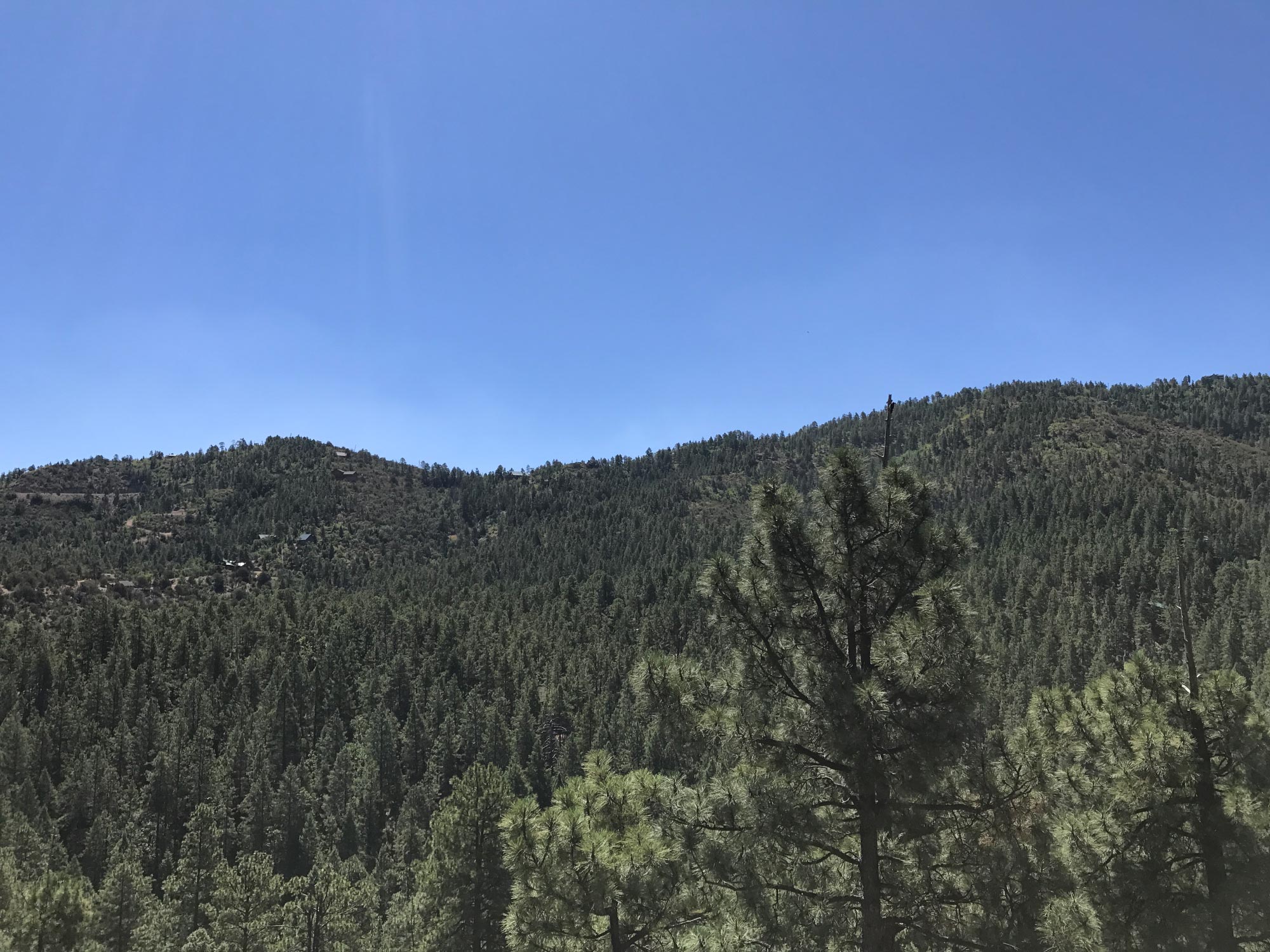
The photo above is the view from our deck this morning at 10:00am, July 4.
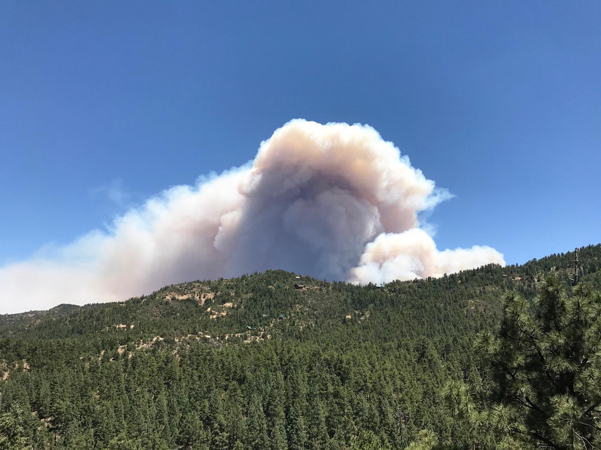
This is that same view one week ago:
https://inciweb.nwcg.gov/incident/5278/
As of 8:00am on July 4th:
Current Situation
Total Personnel 644
Size 28,508 Acres
Percent of Perimeter Contained 91%Projected Incident Activity
12 hours:
The Fire continues to consume large diameter fuels on top of Big Bug Mesa, from the burnout operations completed last night.
Interior pockets of heat will continue to produce smoke, but are not a threat to containment lines.
24 hours: Interior islands of unburned fuels on Big Bug Mesa will continue to produce smoke as fire slowly backs into them, but are unlikely to threaten containment lines.
Larger diameter fuels consume down to ash, within 24 hours and will self-extinguish.
48 hours: Fewer areas of smoke visible from Highway 69, as fuels burn out naturally.
Remaining pockets of heat on Big Bug Mesa, will be more than 1/4 mile away from containment lines and pose minimal threat.
72 hours: Thunderstorms are possible throughout the area.
Gusty and erratic winds may allow remaining smoldering fuels to shift from smoldering to active burning.
Active fire spread is unlikely, due to inconsistent ground fuels outside of isolated pine drainages on Big Bug Mesa.
Anticipated after 72 hours: Thunderstorms are possible throughout the area.
Gusty and erratic winds may allow remaining smoldering fuels to shift from smoldering to active burning.
Active fire spread is unlikely, due to inconsistent ground fuels outside of isolated pine drainages on Big Bug Mesa.


Leave A Comment