https://www.fs.usda.gov/detail/prescott/news-events/?cid=FSEPRD548951
Goodwin Fire
July 4, 2017, 9:00 amThis is the final update issued by the Southwest Area Type I Incident Management Team. Future releases will be issued by Hammond’s Type III Team.
Happy Independence Day: Today, on the Goodwin fire, a change in command takes place as the Southwest Area Type 1 Team transfers command and organizational structure to Hammond’s local Type III team. Nothing will change in the objectives of the fire. Firefighter and public safety is always be the top priority.
Hammond’s Type III team will shadow and observe all the Type I team’s activities today in order to achieve a smooth transition tomorrow, Wednesday, July 5. This is done to learn about the fire, values at risk, lessons learned and the geography of the terrain. The only change noticeable in activity will be a reduction in fire resources as firefighters are reassigned to other wildfires or begin traveling home. The transfer of command to Hammond’s Type III team, will continue suppression activities the fire with the goal to make the burned area safe for everyone.
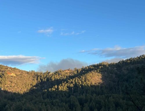
Fire Summary: The northwest corner of the Goodwin fire, near Big Bug Mesa, the public will still see smoke visible. The remaining fire activity is contained inside the perimeter as unburned islands of vegetation in pine tree stands is slowly consumed. The rest of the fire, although contained, will still be patrolled and monitored by firefighters to safely and effectively respond to any unpredicted emerging issues throughout the coming days.
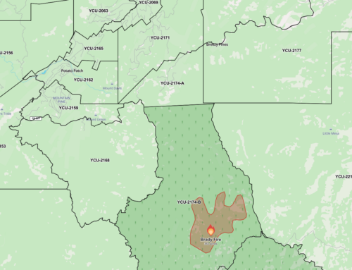
New Reduced Closure Order in Effect: The following Prescott National Forest lands will remained closed to the public until such time that conditions are deemed safe: PNF land east of County Road 58 and HWY 69 extending west to Forest Road (FR) 261 to the intersection of FR 52; south on FS 52 to FR 9222c; east to FR 89; then east to the intersection with County Road 59. The opening of Lynx Lake and Hilltop Campgrounds is yet to be determined. Map (268 KB PDF)
Recreation sites open to the public include: Lynx Lake North & South Shore Day Use Sites, Ranch Trailhead 62, Lynx Creek Ruin, Gold Pan, Salida Gulch, Seven Mile Trailhead, Smith Ravine, all Designated Dispersed Camping in the Prescott Basin and the Highlands Center for Natural History all re-open Tuesday morning, July 4, 2017 at 6:00 am.
The Evacuation Center and Animal Shelter in Prescott Valley has closed.National Forest website (www.fs.fed.us/r3/prescott) or Inciweb (https://inciweb.nwcg.gov/incident/5278/) for a map of the closed area.


Leave A Comment