
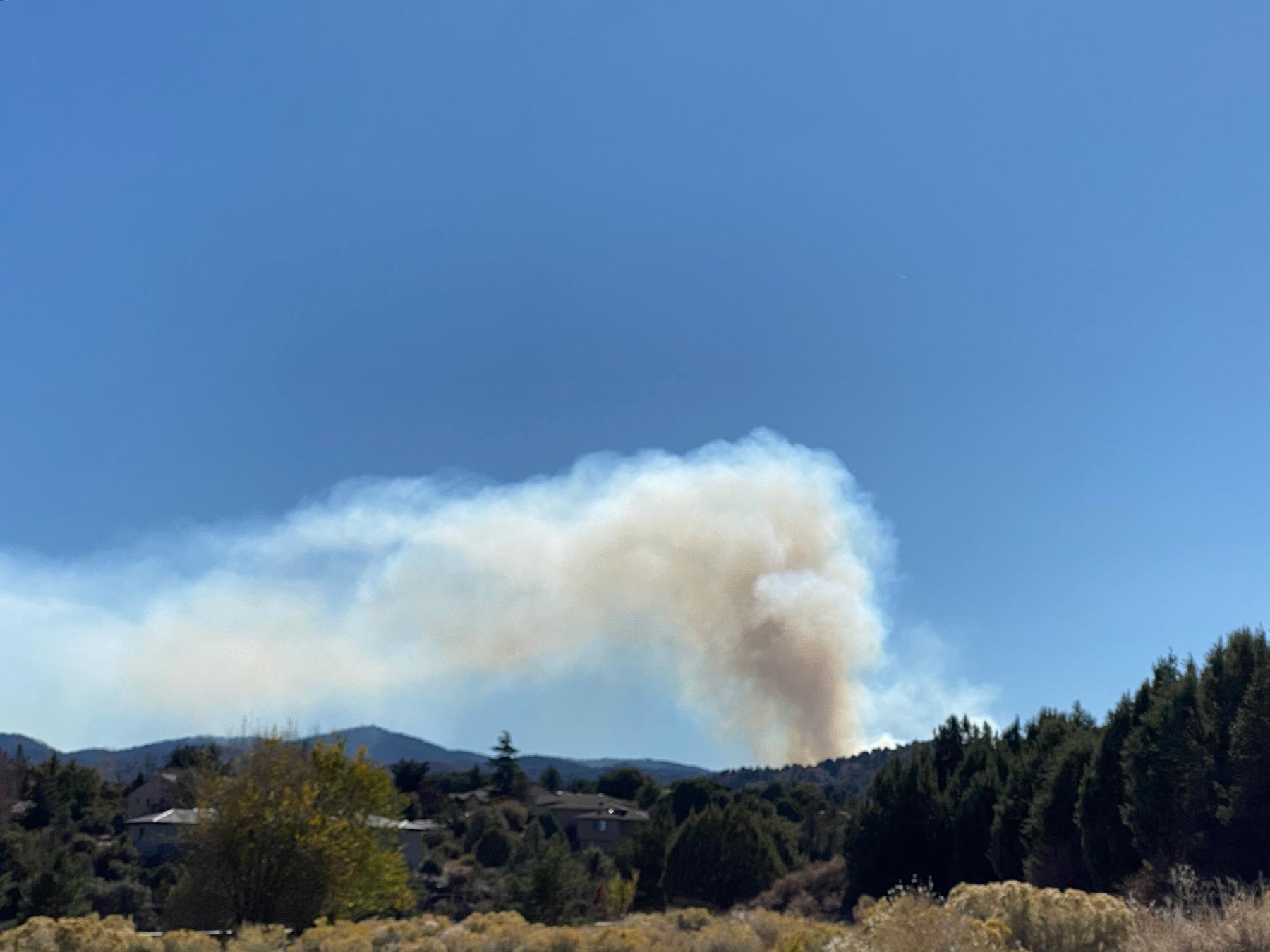
They started another prescribed burn to the west of Walker yesterday.
The smoke looked horrible from town, like it always does, but it blows away and doesn’t really bother us here in Walker.
Then last night, I started to smell smoke about 10:00pm.
I looked out side with the full moon and the valley was filled with smoke.
The mountain on the other side of the valley was nearly invisible, even under the almost full moon.
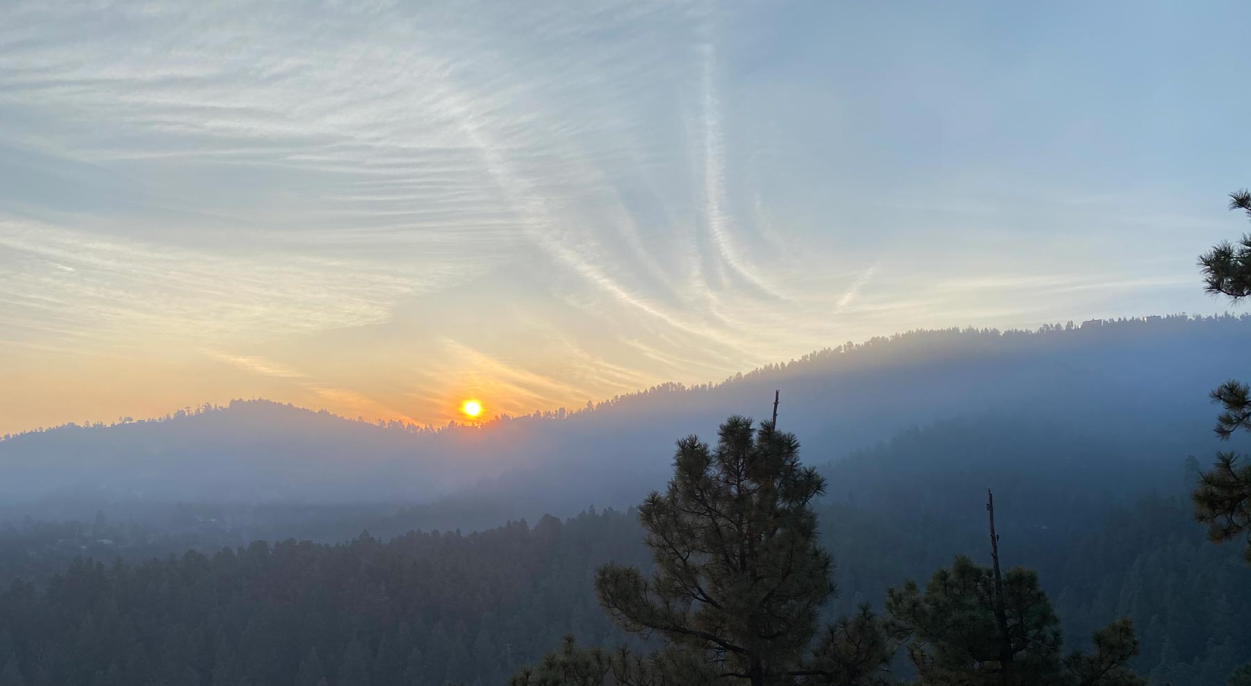
The smoke is still filling the valley this morning, but not nearly as bad as last night.
Below is a photo from our house of the sunrise this morning.
Below is some more information, as well as a map of the burn.
Rain and snow are in the forecast for next week.
Fire managers on the Bradshaw Ranger District plan to burn on Wednesday, November 13 through Friday, November 15. All burning will be dependent on appropriate current and expected weather conditions to achieve the desires fire effects. Fire Managers plan to complete only one of the two burns listed below and will determine on Tuesday which burn will occur. While daytime wind direction is difficult to predict at this time, night time and early morning smoke impacts are expected to occur in low lying areas which will include Prescott, Thumb Butte, Copper Basin, Groom Creek and Walker. Area Map (6 MB PDF)
Watershed RX: First entry burn. Approximately 400 acres of the, located 2 miles south of Prescott and 1 mile northeast of Groom Creek (T13N, R2W, Sec 23, 24, 25). Vegetation consists of ponderosa pine, along with pockets of chaparral and grass. Smoke will be visible and could delay travel on Senator Highway, Walker Road and areas immediately surrounding the burn area including the Watershed Trail #299.
Read the entire article at: https://www.fs.usda.gov/


Leave A Comment