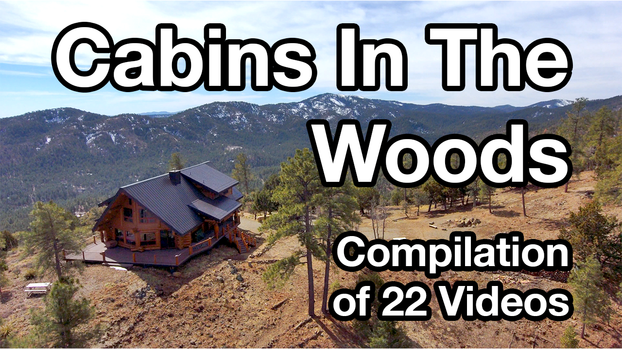
Crooks Fire Map By Conrad Walton|2022-05-25T09:08:41-07:00April 21st, 2022|1 Comment Click Here for Current Crooks Fire High Resolution Maps: https://inciweb.nwcg.gov/incident/maps/8067/ Click Here for Active Fire Map: https://maps.nwcg.gov/sa/#/%3F/%3F/34.4135/-112.4086/14 One Comment Lynn Collins April 23, 2022 at 10:57 pm - Reply Thanks for doing this website. I check it frequently. I live in Dewey-Humboldt, lower Blue Hills. I like that this is a very simple format as I am not very “geeky” and sometimes have trouble with T.M.I. on some sites. thanks again Leave A Comment Cancel replyComment Notify me of follow-up comments by email. Notify me of new posts by email. Δ Related Posts What’s It Like Living In A Cabin In The Woods? – Drone Video Compilation Gallery What’s It Like Living In A Cabin In The Woods? – Drone Video Compilation More Snow Is Coming More Snow Is Coming Brady Fire Daily Update – February 12, 2025 Brady Fire Daily Update – February 12, 2025 Brady Fire Daily Update – February 11, 2025 Gallery Brady Fire Daily Update – February 11, 2025 Brady Fire Map | Watch Duty Gallery Brady Fire Map | Watch Duty About the Author: Conrad Walton


Thanks for doing this website. I check it frequently. I live in Dewey-Humboldt, lower Blue Hills. I like that this is a very simple format as I am not very “geeky” and sometimes have trouble with T.M.I. on some sites. thanks again