
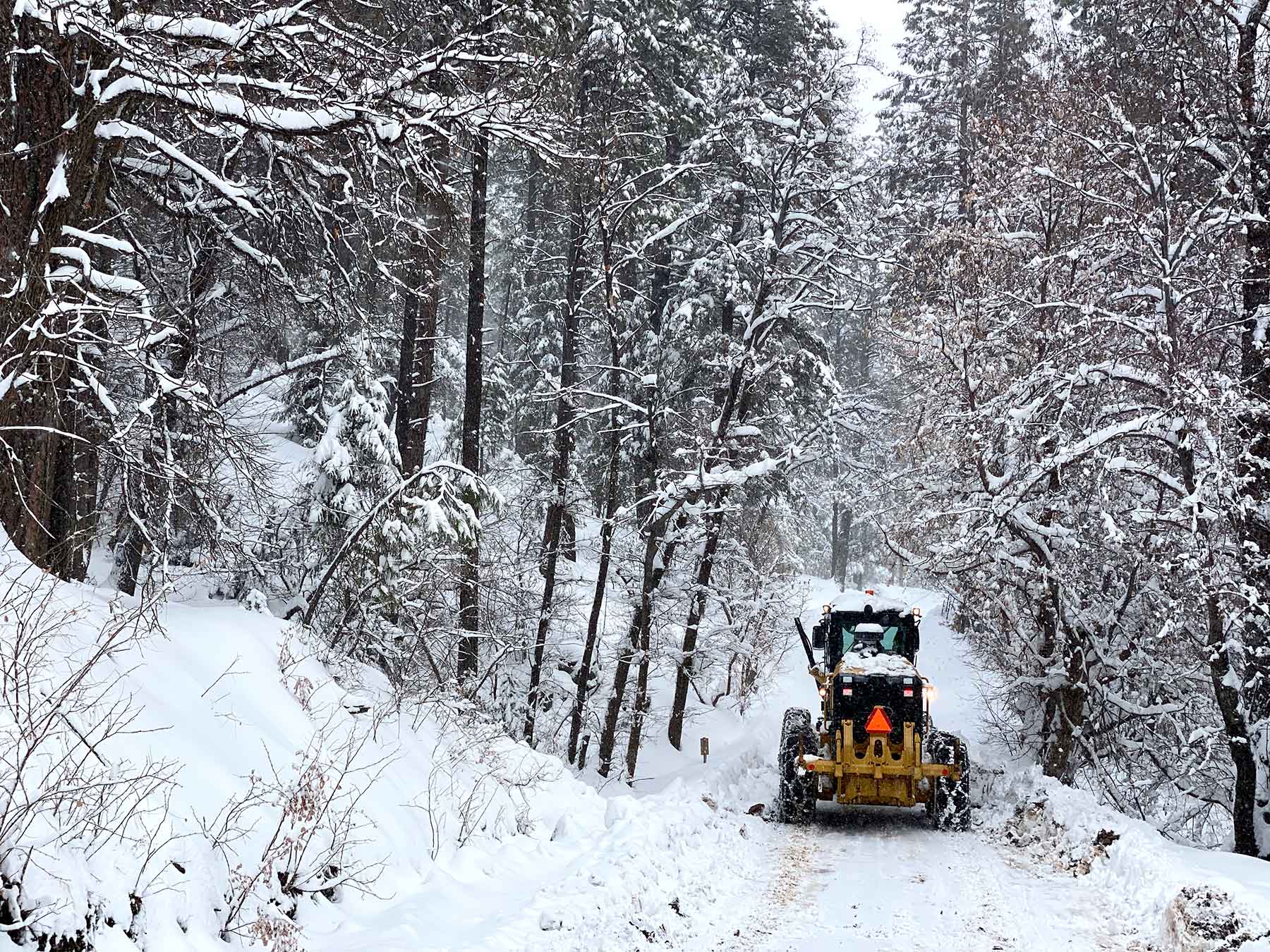
Today is the most snow of this round of snow storms coming through Walker.
I’m going to guess it’s another foot of snow on top of the snow we already received in the last week.
It should all stop by tomorrow morning.
If you have a choice and you live in Walker, stay home, or visit your friends in Phoenix.
Winter Storm Warning
Issued: 11:43 AM Jan. 25, 2021 – National Weather Service…WINTER STORM WARNING REMAINS IN EFFECT UNTIL 11 AM MST TUESDAY
ABOVE 4000 FEET…* WHAT…Heavy snow above 4000 feet. Additional snow accumulations of 2 to 20 inches. Winds gusting as high as 35 mph.
* WHERE…Areas above 4000 feet near Chino Valley, Doney Park, Flagstaff, Forest Lakes, Fredonia, Grand Canyon, Heber-Overgaard, Jacob Lake, North Rim, Paulden, Payson, Pine-Strawberry, Prescott, Prescott Valley, Sedona, Seligman, Valle and Williams.
* WHEN…Until 11 AM MST Tuesday.
* IMPACTS…Travel could be very difficult to impossible. Patchy blowing snow could significantly reduce visibility. The hazardous conditions could impact the morning or evening commute.
Additional snow forecast from 11 AM Today to 11 AM Tuesday:
Chino Valley 3 to 5 inches Doney Park 4 to 6 inches
Flagstaff 9 to 15 inches Forest Lakes 15 to 21 inches
Fredonia 1 to 3 inches Grand Canyon 4 to 6 inches
Heber-Overgaard 5 to 9 inches Jacob Lake 3 to 5 inches
North Rim 8 to 12 inches Paulden 2 to 4 inches
Payson 10 to 16 inches Pine-Strawberry 18 to 24 inches
Prescott 7 to 11 inches Prescott Valley 4 to 6 inches
Sedona 6 to 10 inches Seligman 4 to 6 inches
Valle 3 to 5 inches Williams 9 to 15 inches
.PRECAUTIONARY/PREPAREDNESS ACTIONS…
If you must travel, keep an extra flashlight, food, and water in your vehicle in case of an emergency.
The latest road conditions for the state you are calling from can be obtained by calling 5 1 1.


Love to see your photos! Thanks for all the updates. I’m down in the valley and it is great to know what is going on up there.