
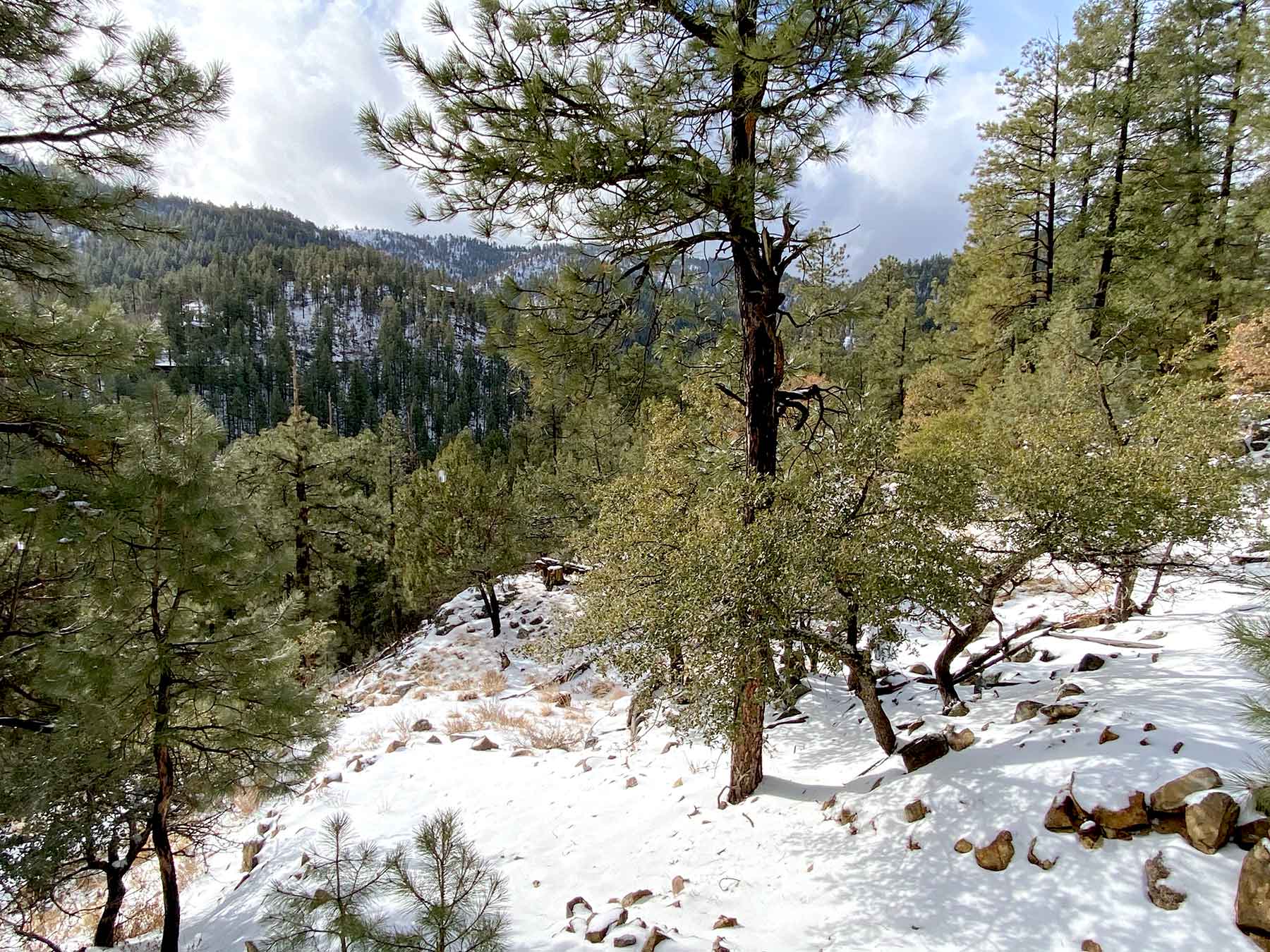
Walker got a couple inches of snow last night. Most of it was actually hail.
Today, Saturday, should see a little rain, then another foot of snow is forecast from Sunday to Tuesday.
Officially; “Total snow accumulations of 6 to 12 inches possible with locally higher amounts up to 18 inches.”
Be careful and stay safe out there.
Winter Storm Watch
Issued: 2:10 PM Jan. 23, 2021 – National Weather Service…WINTER STORM WATCH IN EFFECT FROM SUNDAY EVENING THROUGH
TUESDAY MORNING ABOVE 4000 FEET…* WHAT…Heavy snow possible above 4000 feet. Total snow
accumulations of 6 to 12 inches possible with locally higher
amounts up to 18 inches. Winds could gust as high as 35 mph.* WHERE…Areas above 4000 feet near Chino Valley, Fredonia,
Grand Canyon, Jacob Lake, North Rim, Paulden, Sedona and Valle.* WHEN…From Sunday evening through Tuesday morning.
* IMPACTS…Expect difficult travel conditions due to snow and
blowing snow. Area roadways will be snow packed and dangerous.
Travel times will increase.* ADDITIONAL DETAILS…Areas of blowing snow can be expected on
Monday.Snow forecast from 11 PM Sunday to 11 AM Tuesday:
Chino Valley 6 to 10 inches Fredonia 2 to 4 inches
Grand Canyon 6 to 10 inches Jacob Lake 4 to 8 inches
North Rim 9 to 15 inches Paulden 5 to 9 inches
Sedona 11 to 17 inches Valle 5 to 9 inches
.PRECAUTIONARY/PREPAREDNESS ACTIONS…
Monitor the latest forecasts for updates on this situation.
&&


Leave A Comment