
Walker Fire posted this update on their FaceBook page.
https://www.facebook.com/walkerfiredept/posts/1675667675777422
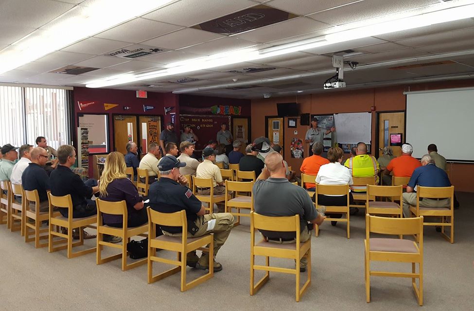
We attended the 11am stakeholder’s meeting at the Incident Command Post (ICP) and got some useful information.
Feel free to leave questions in the comments if we missed anything.
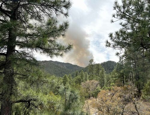
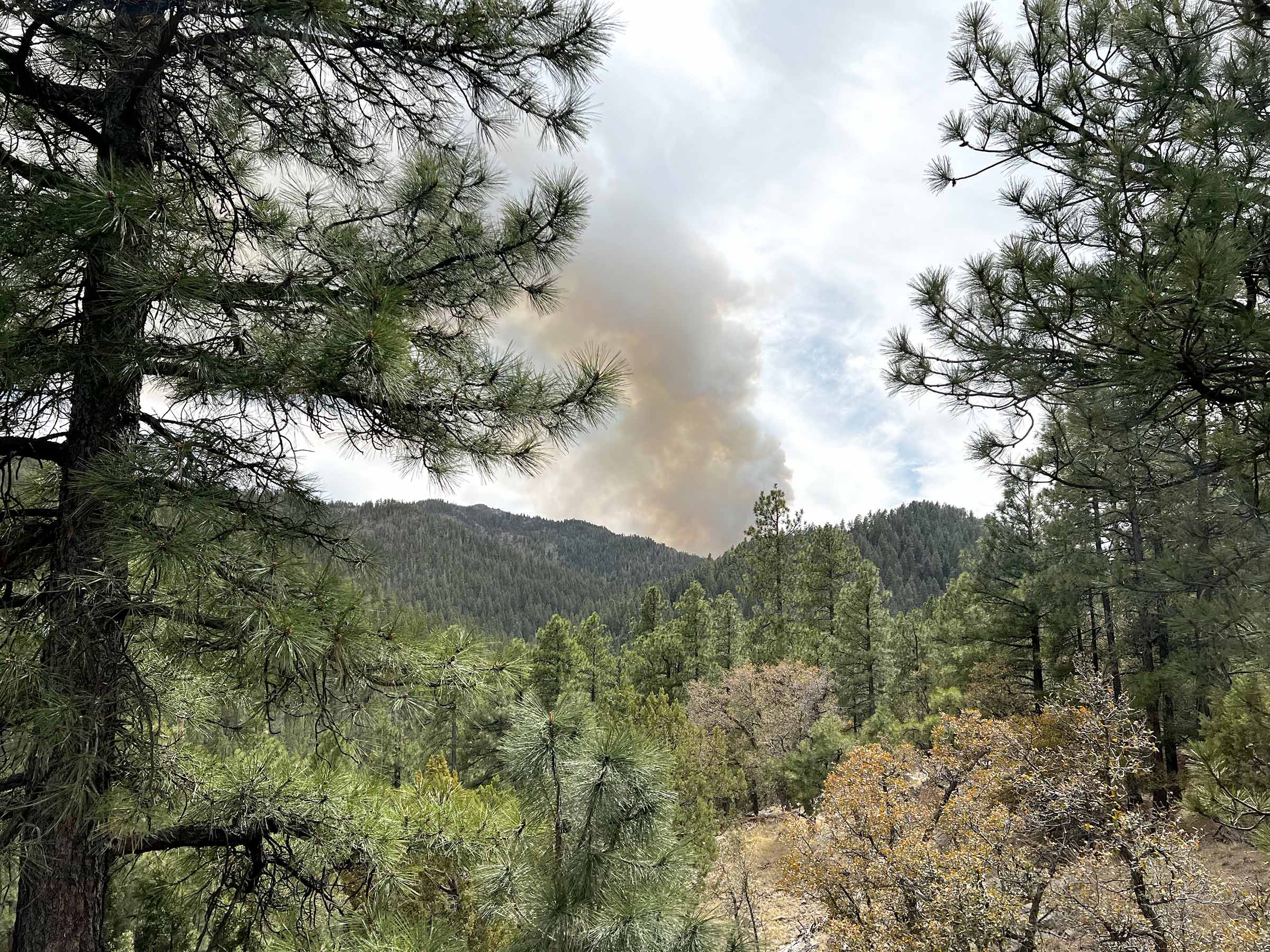
The expected flow of the fire is toward Mayer.
It is a long way from Mayer but for directional context that is what’s expected.
Most of the growth thus far has been away from Walker, toward Pine Flat.
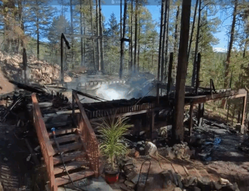
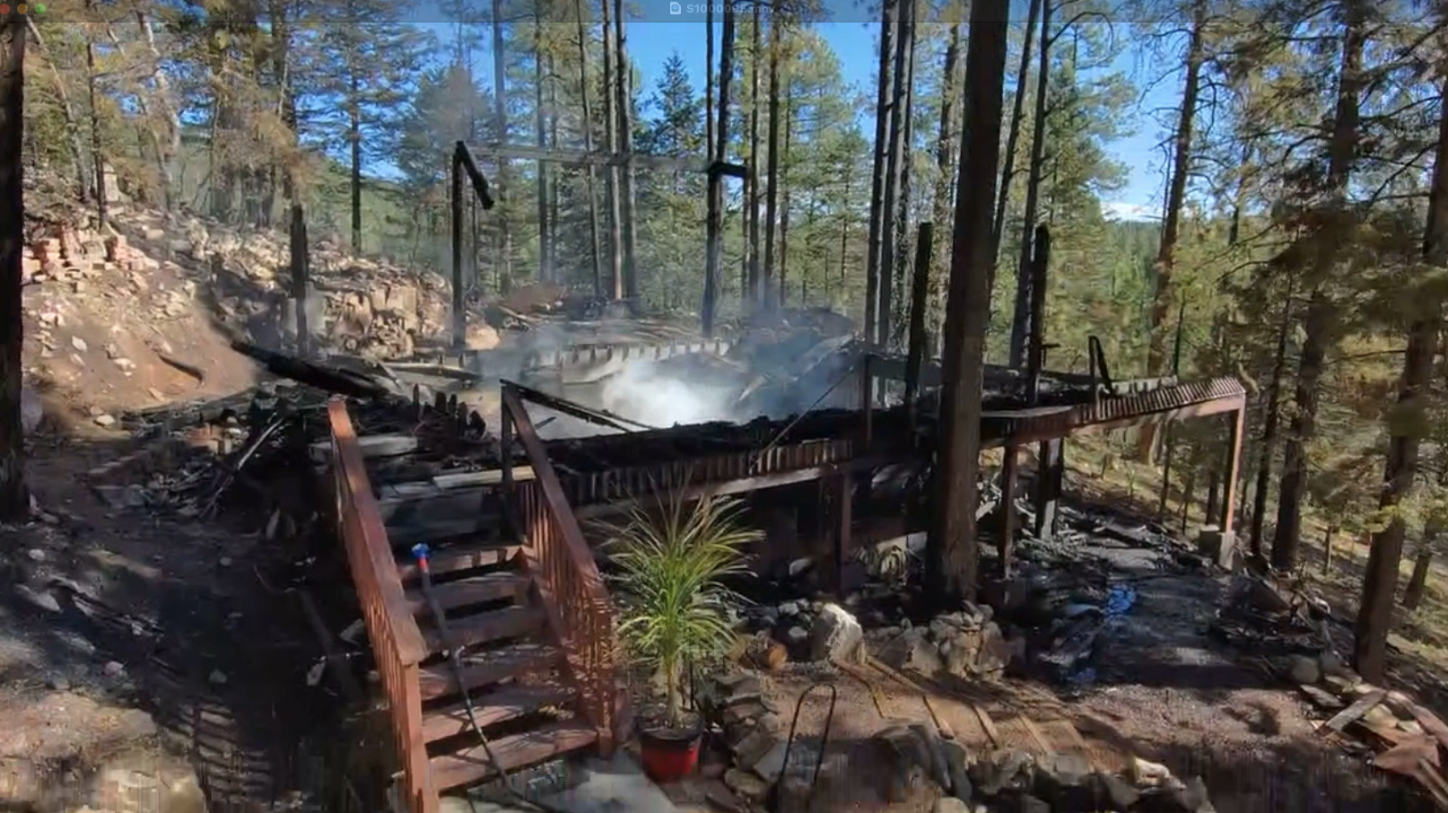
We have no specific information in terms of whether structures have been impacted, follow the press releases for that.
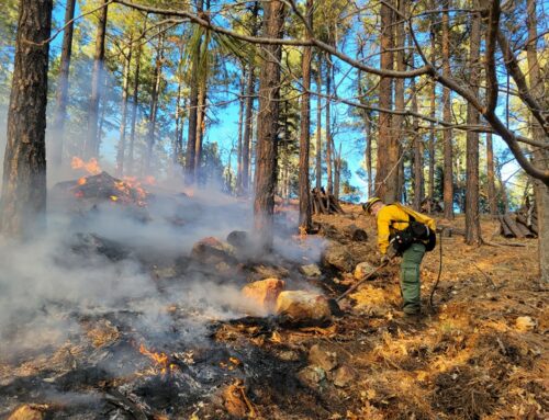
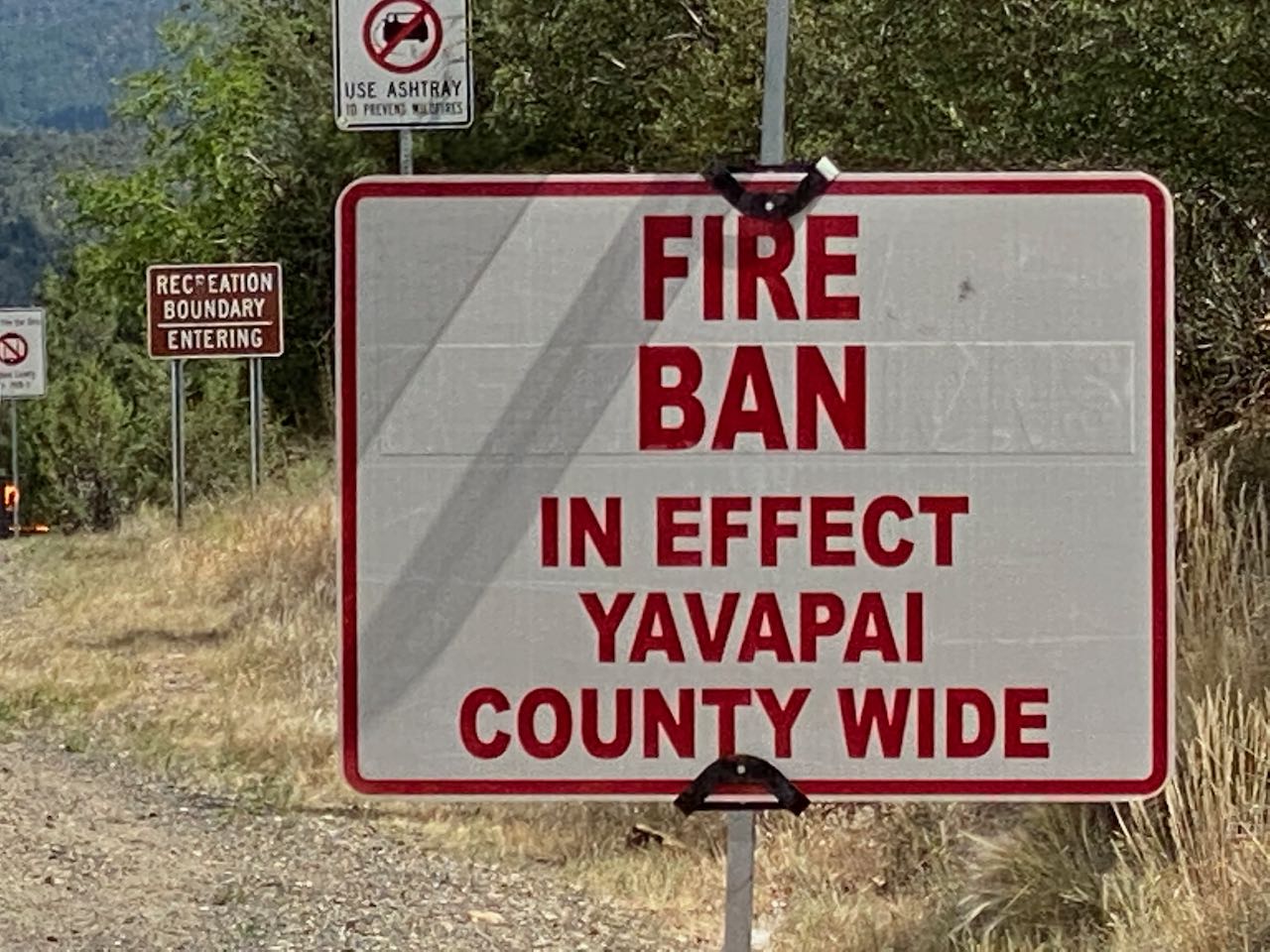
The fire is relatively small but is a Type 1 Incident (the most serious) because of how rough the terrain is and how difficult it is to access.
The thunder clouds that we see near the fire are problematic. There is a forecast that says they will be gone by tomorrow which would help if it turns out to be correct. The storm fronts can effect wind direction and increase the unpredictability of the fire.
State Forester Jeff Whitney attended the meeting and stressed how seriously this fire is being taken.
For now there is little concern that it could actually reach Walker and Potato Patch.
One scenario for the fire to get here would be that it pushes south, turns a corner toward the Northwest and runs up to Mount Union. Is this probable, no it isn’t, but with a wildfire, anything is possible.
We’ve had some questions here about Breezy Pine. An evacuation is not imminent but it is appropriate to plan what/how you would evacuate.
In this regard think about people, pets (and a little food for your pets), prescriptions, pictures and laptop/tablet.
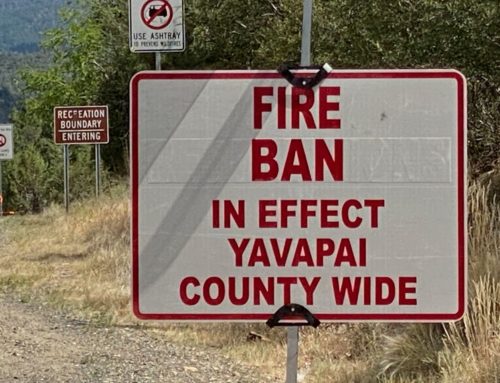
Road closures are being implemented toward Potato Patch, Millsite, Mountain Pine Acres and the like, homeowners are allowed in, these are to keep out curious onlookers.
This would change if the fire got here but for now it is not to keep homeowners out.
Leave A Comment