
From Walker Firewise:
Firefighters Making Significant Progress
Cellar Fire – July 21, 2019 Morning UpdateAcres: Approximately 7,512 acres Percent Containment: 18 %
Start Date: July 14, 2019 Cause: Lightning
Origin Location: 16 Miles South of Prescott, AZ Jurisdiction: Prescott National Forest
Fuels: Upper elevation: Ponderosa pine. Lower elevation: Brush, Grass and Chaparral
Resources: 661 personnel including 8 Hot Shot Crews, 6 Type 2 IA Crews, 2 Type 2 Crew, 2 Dozers, and 19 EnginesAfter another night of poor relative humidity recovery, conditions over the fire will be hot and dry today. While fire activity is minimal, the potential for active fire behavior still exists. Due to an increase in mid-level moisture, a few cumulus buildups are likely over the mountainous terrain, but no rain is expected today over the fire.
The Blind Indian Creek drainage area on the east side of the fire remains the most active. Firefighters have been using indirect suppression tactics in this area due to steep, rugged terrain. Aerial resources will continue to cool hotspots in this area as needed.
Firefighters are holding and securing the perimeter. Firefighters were able to tie in a dozer line with a saw line on the northeast side of the fire. Structure protection efforts in Palace Station continue. Firefighters continue to scout contingency opportunities if needed.
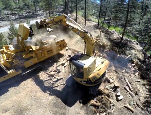
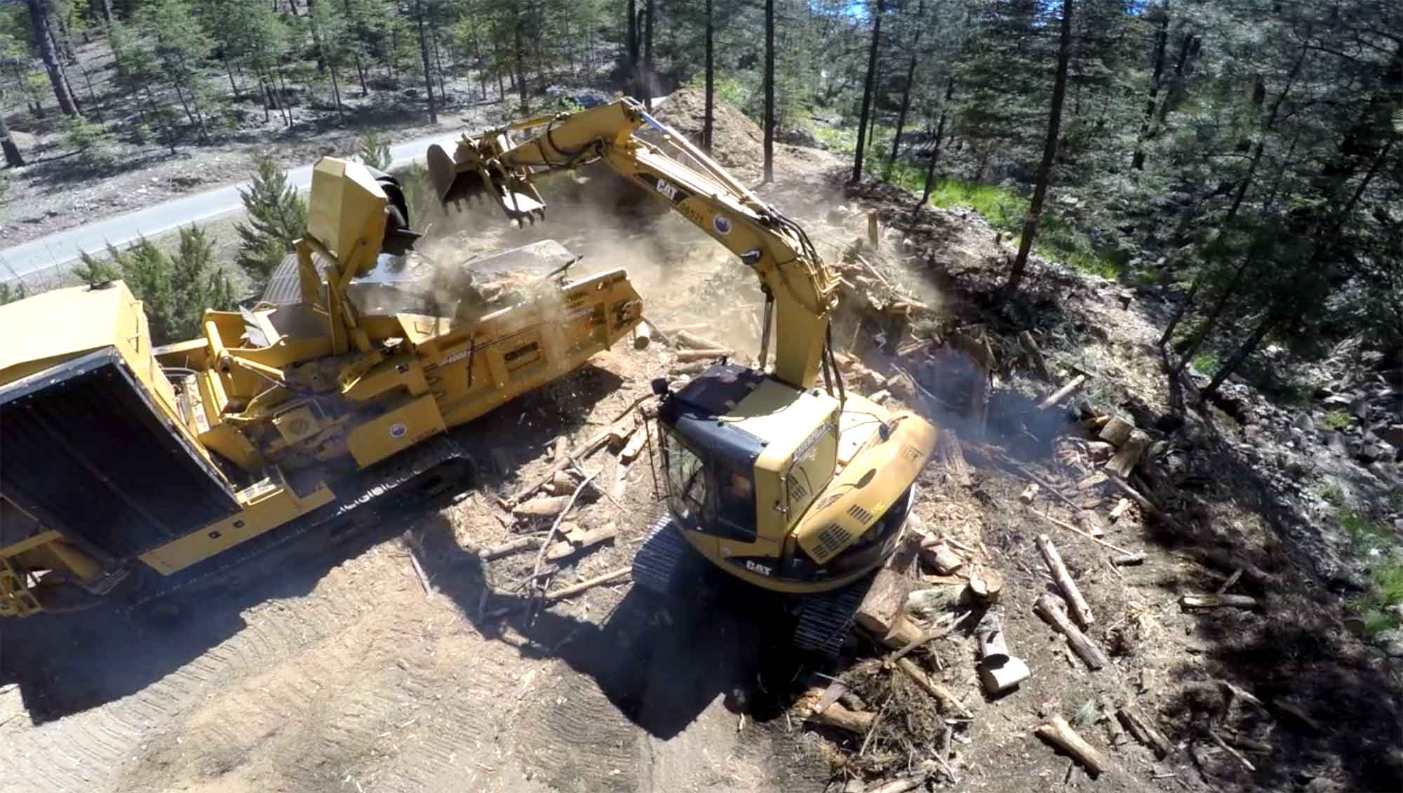
Firefighters are beginning suppression repair. The objective of suppression repair is to repair damages to resources, land, and facilities caused by the fire suppression activities, and to return the affected area to pre-wildfire management activity conditions as practical. Chipping of brush vegetation removed by masticators will begin at Palace Station south along FS Road 52 (Senator Highway).
Firefighters continue to actively engage in fully suppressing the fire where they can do so safely and effectively. This includes protecting values at risk including private property and infrastructure in and around Pine Flats, Potato Patch, Wolf Creek, Groom Creek, Indian Creek Walker, and Crown King.
A recording of Daily Operations Video Update and yesterday’s Crown King Community Meeting are available to view on Facebook at https://www.facebook.com/PrescottNF/. No Facebook account is required to view.
Yavapai County Sheriff’s Office has lifted the evacuation for Pine Flat. Residents were allowed to return home at 6 pm on, July 20, but will remain in Code Red “READY.” The communities of Walker, Groom Creek, Wolf Creek, Potato Patch, Indian Creek and Crown King remain in ‘READY’ status. For information on Code Red alerts, visit the Yavapai County Sheriff’s Office Facebook at https://www.facebook.com/YavapaiCountySheriff/ . For the latest information on Code Red, evacuations, and road closures please call Yavapai County Emergency Operations Center (EOC) at 928-771-3321 (7:00 am to 7:00 pm).
There is a Cellar Fire Closure Area in effect on the Prescott National Forest. It includes everything south of Wolf Creek including Potato Patch, south to the community of Crown King. The community of Crown King remains open for business. Detailed information and a map are available on Inciweb at https://inciweb.nwcg.gov/incident/6443/.
Cellar Fire Information: 928-925-1111 (8:00 am to 8:00 pm)
InciWeb: https://inciweb.nwcg.gov/incident/6443/ (announcements, closures, news, maps, photos)
Facebook: https://www.facebook.com/PrescottNF/ Twitter: https://twitter.com/prescottnf
Interactive Cellar Fire Map is available at https://tinyurl.com/CellarFireMap
Daily Smoke Outlook: Central Arizona Smoke Outlook at https://wildlandfiresmoke.net/outlooks/CentralArizona
Ready, Set, Go Information and Code Red Sign Up: http://www.ycsoaz.gov/


Leave A Comment